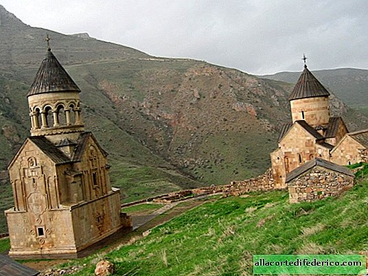
Why Australia is a continent and Greenland an island
Surely, many of you have thought, looking at a map of the world, why is Greenland an island, and Australia, which is only slightly larger in size, has the status of a continent? Let’s see why such a flagrant injustice arose with regard to Greenland.

The fact is that when we look at a world map, for example, a political one, it seems to us that Greenland, if not equal in area to Australia, then at least not so much different from it. But this is a fallacy. In fact, the area of Australia together with the island of Tasmania is 7 692 024 km² (without Tasmania 7 623 623 km²), and the area of the island of Greenland is 2 130 800 km², more than three times less. But how so? After all, they look almost the same?

The thing is that the world map that depicts the surface of the Earth, in fact, distorts reality: most common cartographic projections increase the distance at the poles, but the equatorial regions are shown without distortion. Thus, if we are talking about a general map of the world, and not about a map of poles or a map of individual regions, then you should always keep in mind that an exact image on the plane of the planet’s surface is impossible, you will always have to sacrifice something. In our case, these are distances at high latitudes, and with them the visual area, which seems many times larger. Therefore, it turns out that Greenland and Australia look almost equal in size, but if you look at the globe, the difference is visible to the naked eye.

So, we figured out that the areas of these two geographical objects are incommensurable - there is a significant difference between them. But this is not the main criterion for distinguishing a land plot into the category of a separate continent. Of great importance is the geological structure of the territory.

Continent Australia is located on a separate lithosphere plate - the Australian. In addition to the land itself, called Australia, it also includes the surrounding ocean. At the same time, Greenland belongs to North America, not only because of the historically established tradition of dividing into continents, but also according to geological characteristics. The territory of Greenland belongs to the North American Plate, which, in addition to it, includes the mainland North America, the Arctic islands located between Canada and Greenland, as well as the extreme northeastern part of the continent of Eurasia. Yes, Eurasia is the mainland, consisting of several lithospheric plates, united by one large land region.

In addition, the uniqueness of the region and the historically established tradition are of great importance for separation into a separate mainland. Australia has its own unique aboriginal population, a composition of flora and fauna unlike other regions of the planet. While Greenland in these parameters differs little from the island of Baffin Island, for example, or other nearby islands.

The material is copyrighted, when copying a link to an article or travelask.ru site is required
Watch the video: Why is Greenland an Island and Australia a Continent? (May 2024).


-
French paradise for Russian tourists
Today I suggest you take a short excursion to Bordeaux and look at a place that any Russian will cause a slight thrill and pleasant excitement. Yes, and how not to penetrate when it comes to Intendant liquor store. They say its walls hold 15,000 bottles of wine - a real arsenal! But that is not the point. ... -
-

-